Did You Know? The “Black Current” Off Taiwan Moves 100 Amazons of Water
Stand on a cliff anywhere along Taiwan’s east coast and look out to sea. A little way offshore, the water turns a deep, almost inky blue. That’s not a trick of the light. You’re looking at the Kuroshio (黑潮), the “Black Current,” one of the most powerful ocean currents on Earth, and it runs right past Taiwan’s front door.
Why “black”?
The name is Japanese: kuro means black and shio means current or tide. The Kuroshio starts in the tropical Pacific, turns north off the Philippines, and sweeps up Taiwan’s east side on its way to Japan. Its surface water is warm, salty and very low in nutrients. That means very little plankton, so instead of scattering sunlight back as green, the clear water soaks it up and looks dark navy, nearly black. Coastal water is green and busy. The Kuroshio is the clear, empty, open-ocean kind.
A river in the sea, with the flow of 100 Amazons
Taiwanese oceanographers have measured the current east of Taiwan for decades, and the numbers are wild:
- Flow: about 22 million cubic meters of water per second on average, measured east of Taiwan (anywhere from roughly 12 to 33 million depending on the month). The Amazon River pours out about 0.2 million. That makes the Kuroshio roughly 100 Amazons running side by side.
- Speed: its fastest core moves at about 0.7 to 1.4 meters per second, a brisk walking pace, which is a lot for an ocean current.
- Size: the core is around 85 to 135 km wide and several hundred meters deep.
What the current gives Taiwan
All that warm water is why Taiwan’s southern coast can grow coral reefs. Green Island’s reefs sit right in the current’s path (it’s also why the ferry crossing is famously bumpy). On Orchid Island, the Tao people’s whole flying fish season begins when the fish arrive on the Kuroshio. Our guide to Taiwan’s Indigenous peoples covers that calendar.
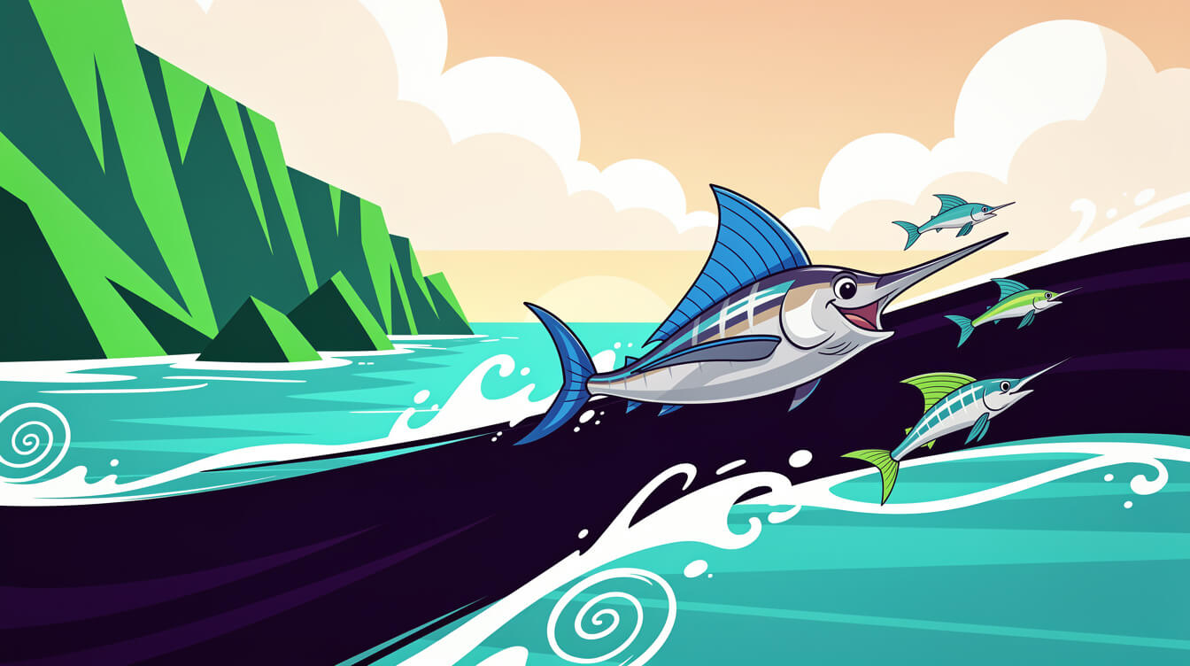
And right about now, the current sets up one of Taiwan’s most dramatic fishing traditions. When the northeast monsoon kicks in after October, big billfish (旗魚, sailfish and marlin) travel up the east coast. In Chenggong (成功), Taitung, fishermen still hunt them by harpoon, a method brought in during the Japanese era: a spotter, a harpooner on the bow, and nothing but sharp eyes. The local fishermen’s association even holds an annual harpoon competition in the season.
The takeaway
That dark stripe of sea off Hualien and Taitung isn’t just a pretty view. It’s a warm-water highway that feeds Taiwan’s reefs, sets the rhythm of Indigenous fishing seasons, and fills east-coast harbors every autumn. It’s a fine follow-up to our north-coast mackerel harbor story. Next time you take the train down the east coast, look for the line where the green water turns black. 🌊
Love Taiwan’s wild east coast? Bring a little island spirit home. Shop Taiwan Merch.

Grab a Free Taiwan Sticker!
Drop your email and we’ll send you a limited-edition Taiwan sticker — plus insider access to new merch drops and island vibes.
No spam. Unsubscribe anytime.