Taiwan Country World Map: The Complete Guide to Finding and Understanding Taiwan on Every Map
If you’ve ever tried to find Taiwan on a country world map, you’ve probably noticed something strange. Depending on which map you’re looking at, Taiwan might appear as an independent nation with its own borders and capital city — or it might be shaded the same color as mainland China with barely a label to its name. This isn’t an accident, and the story behind it is one of the most fascinating geopolitical puzzles in modern cartography.
Taiwan — officially the Republic of China (ROC) — is a self-governing island nation in East Asia with its own government, military, currency, passport, and 23.5 million citizens. Yet its status on world maps remains one of the most contested questions in international geography. In this comprehensive guide, we’ll show you exactly where Taiwan sits on the world map, explain why different maps handle it differently, and give you the complete geographic picture of this remarkable island country.
Taiwan Country World Map: Where Exactly Is Taiwan Located?
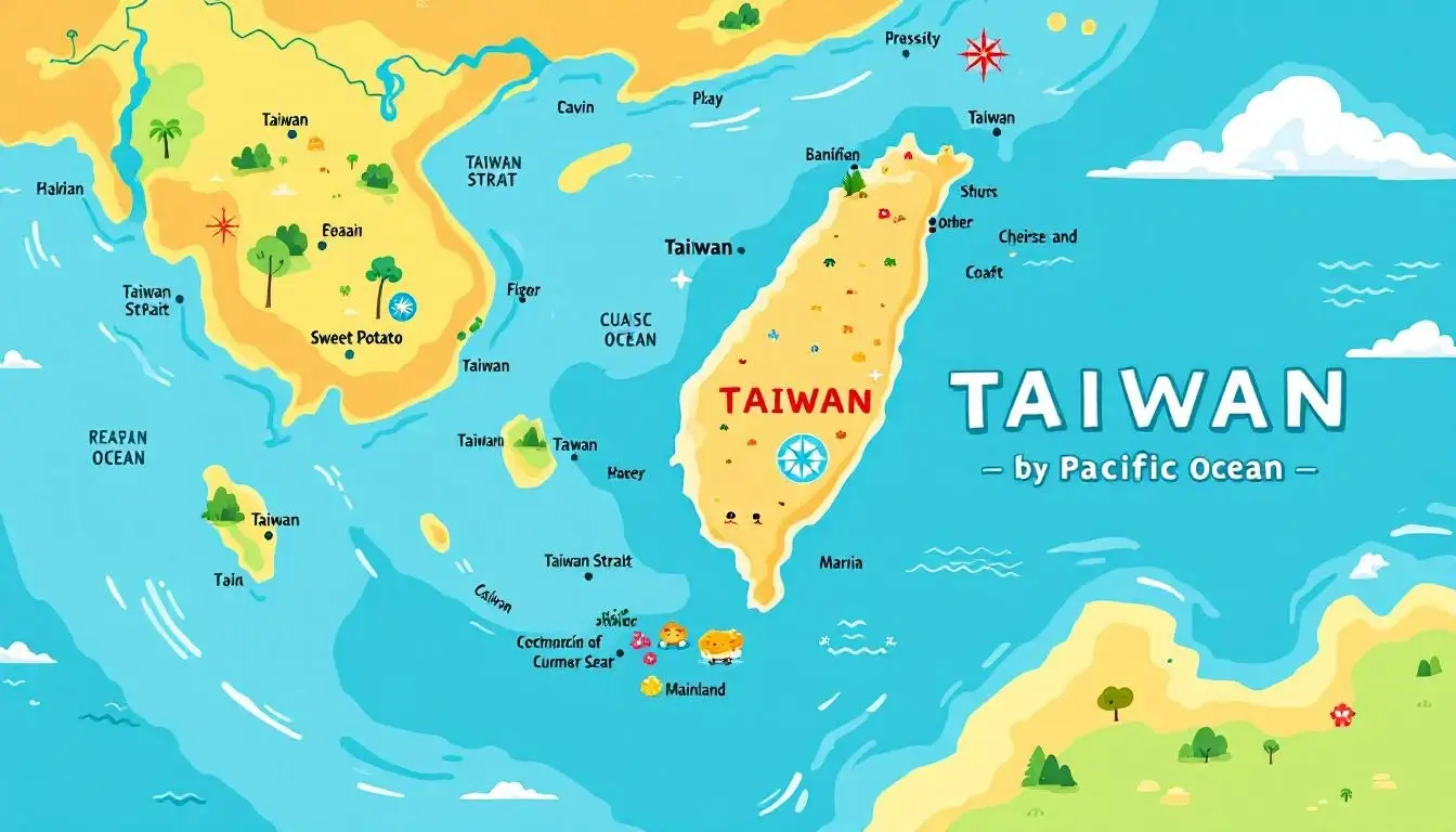
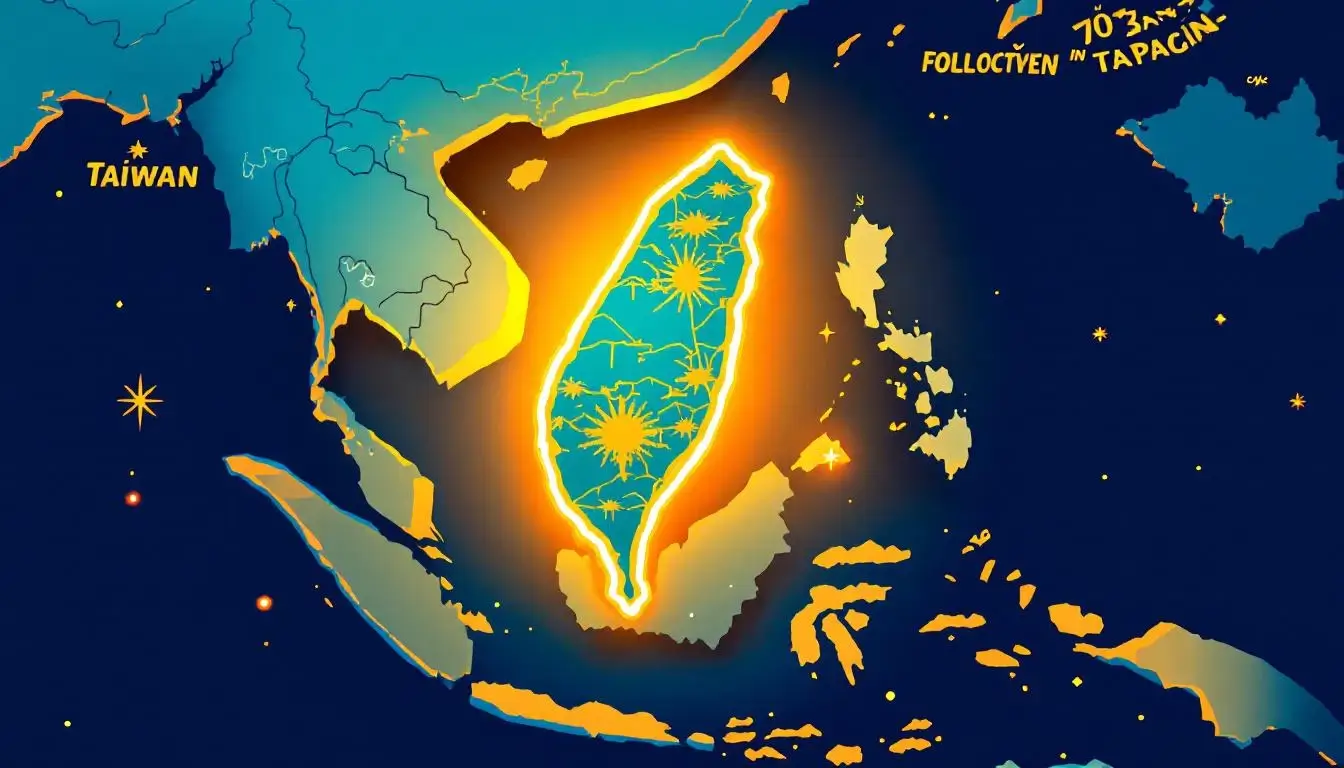
Taiwan sits in the western Pacific Ocean, positioned between Japan to the north and the Philippines to the south. If you’re looking at a world map, you’ll find it at approximately 23.5°N latitude and 121°E longitude — roughly 180 kilometers (112 miles) off the southeastern coast of mainland China, separated by the Taiwan Strait.
Here’s how to quickly locate Taiwan on any world map:
- Region: East Asia / Western Pacific
- Neighbors: China (west, across the Taiwan Strait), Japan (north, Ryukyu Islands), Philippines (south, across the Luzon Strait)
- Bodies of water: Taiwan Strait (west), East China Sea (north), Philippine Sea (east), South China Sea (southwest)
- Coordinates: 23.5°N, 121.0°E (roughly the same latitude as Hawaii)
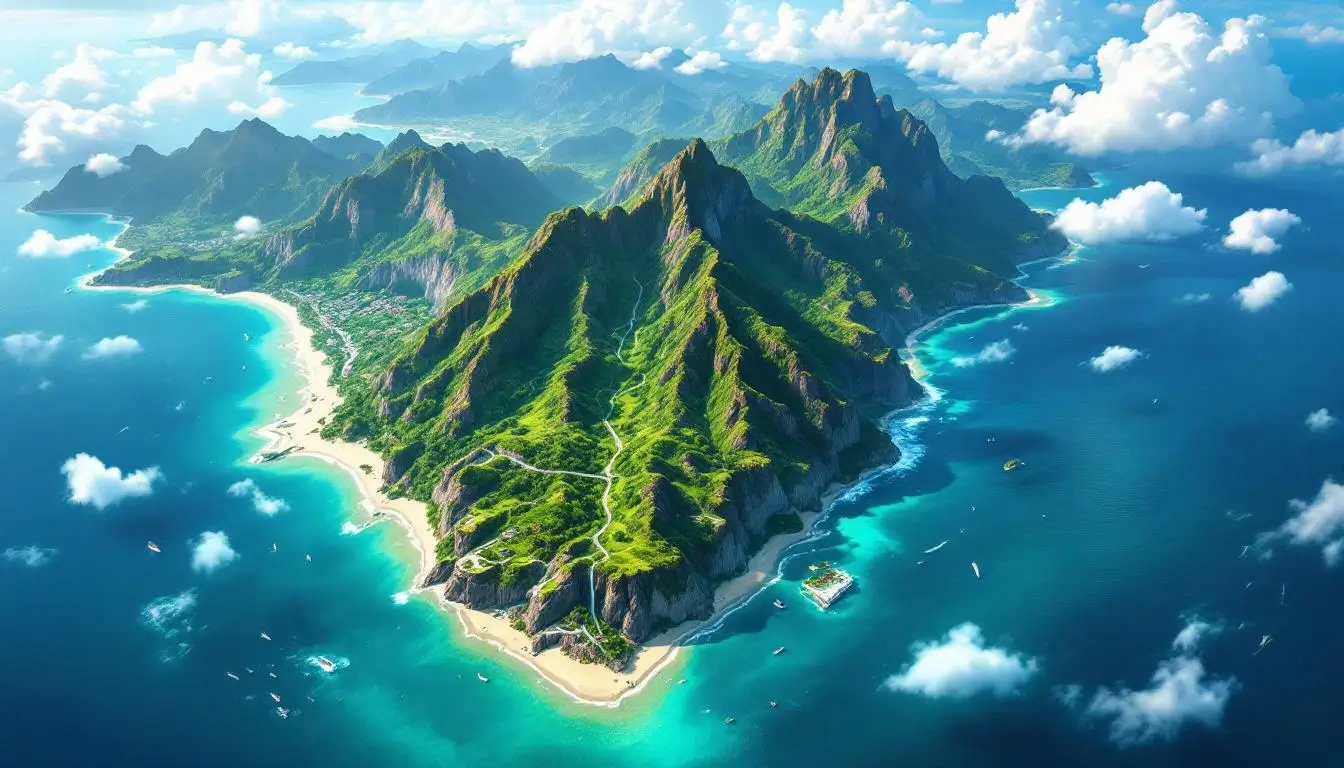
The island is shaped like a sweet potato — a comparison Taiwanese people use affectionately — running roughly 394 kilometers (245 miles) from north to south and 144 kilometers (89 miles) at its widest east-to-west point. Despite being smaller than Switzerland, Taiwan packs an extraordinary amount of geographic diversity into its 36,193 square kilometers.
Taiwan’s position at the junction of major tectonic plates, ocean currents, and migration routes makes it one of the most biodiverse places on Earth per unit area. The island straddles the Tropic of Cancer, giving it both tropical and subtropical climate zones — a geographic luxury that means you can go from palm-lined beaches to snow-capped mountain peaks within a few hours’ drive.
For a deeper look at Taiwan’s exact position and geographic relationships, check out our complete guide to Taiwan’s location on the world map.
Why Taiwan Appears Differently on Different World Maps
This is the question that confuses most people when they look at a Taiwan country world map — why doesn’t every map show Taiwan the same way? The answer lies in a complex web of international politics, diplomatic recognition, and cartographic conventions that have evolved since 1949.
The Historical Context
When the Chinese Civil War ended in 1949, the defeated Nationalist government (ROC) retreated to Taiwan while the Communist Party established the People’s Republic of China (PRC) on the mainland. For decades, both governments claimed to be the legitimate government of all China. In 1971, the United Nations switched recognition from the ROC to the PRC, and most countries followed suit — reshaping how mapmakers depicted the region overnight.
The One-China Policy and Map-Making
The PRC claims Taiwan as a province and pressures governments, organizations, and publishers worldwide to depict Taiwan as part of China on maps. Many map publishers — including Google Maps in certain regions — comply by using the same color-coding for Taiwan and mainland China or by omitting Taiwan’s capital Taipei from country capital designations. Airlines, hotel chains, and multinational corporations have all faced public pressure campaigns for listing Taiwan as a separate country in their booking systems.
How Major Map Publishers Handle Taiwan
- Google Maps: Shows different versions depending on where you’re viewing from. In China, Taiwan appears as a Chinese province. In Taiwan, it appears as independent. Elsewhere, it’s shown with a dashed border — a cartographic compromise that satisfies no one completely.
- National Geographic: Labels Taiwan separately with its own color but typically includes a note about its disputed status.
- United Nations maps: Show Taiwan as part of China, since the UN recognizes the PRC and Taiwan is not a UN member.
- CIA World Factbook: Lists Taiwan separately with its own comprehensive entry, noting that “the US does not have diplomatic relations with Taiwan” while maintaining extensive unofficial ties through the American Institute in Taiwan.
- OpenStreetMap: Shows Taiwan with its own administrative boundaries, reflecting the open-source community’s preference for documenting ground reality over political claims.
The Diplomatic Numbers
As of 2026, only 12 countries formally recognize Taiwan (the Republic of China) as the legitimate government of China. These are mostly small nations in the Pacific, Caribbean, and Central America. However, over 60 countries maintain unofficial diplomatic offices in Taiwan, and Taiwan has visa-free or visa-on-arrival agreements with more than 145 countries — a privilege typically reserved for recognized sovereign states.
This creates a paradox that every cartographer must navigate: how do you map a place that functions independently but isn’t officially recognized? The answer, as we’ve seen, depends entirely on who’s making the map and who they’re making it for.
Understanding the geopolitics of the Taiwan Strait and its strategic importance adds essential context to why maps depict Taiwan the way they do.
Taiwan’s Complete Geographic Profile
Regardless of political disputes, Taiwan’s physical geography is undeniable. The island sits at a remarkable geological crossroads where the Eurasian Plate meets the Philippine Sea Plate, creating one of the most dramatically mountainous islands on Earth.
Key Geographic Facts
- Total area: 36,193 km² (13,974 sq mi) — roughly the size of Maryland and Delaware combined
- Highest point: Yushan (Jade Mountain) at 3,952 meters (12,966 ft) — taller than anything in Western Europe
- Mountain peaks over 3,000m: More than 200
- Coastline: 1,566 kilometers (973 miles)
- Climate zones: Tropical (south) to subtropical (north), with alpine conditions in the mountains
- Population: Approximately 23.5 million
- Capital: Taipei (population: ~2.6 million city proper, ~7 million metro area)
- Largest city: New Taipei City (~4 million)
The Central Mountain Range
Taiwan’s spine is the Central Mountain Range, running nearly the entire length of the island from north to south. This creates a dramatic east-west divide — the western plains are flat, densely populated, and heavily developed, while the eastern coast is rugged, sparsely populated, and stunningly beautiful. Over two-thirds of Taiwan is covered by mountains, which is why the overwhelming majority of the population lives on the western coastal plain.
The mountain range includes five major sub-ranges: the Central Range, Xueshan Range, Yushan Range, Alishan Range, and the Coastal Range on the east side. Together they create a landscape so vertical that Taiwan has more peaks over 3,000 meters than the entire European Alps — crammed into an island you can drive across in three hours.
Rivers, Gorges, and Watersheds
Despite its small size, Taiwan has 151 rivers, though most are short and steep due to the mountainous terrain. The longest, the Zhuoshui River, runs just 186 kilometers. The rapid descent from mountain to sea creates spectacular gorges — most famously Taroko Gorge on the east coast, carved through marble over millions of years and now one of Taiwan’s most visited natural attractions.
Taiwan’s incredible geographic diversity is one reason why traveling by rail across the island offers such dramatically changing landscapes within just a few hours.
Taiwan’s Islands: What Most World Maps Don’t Show
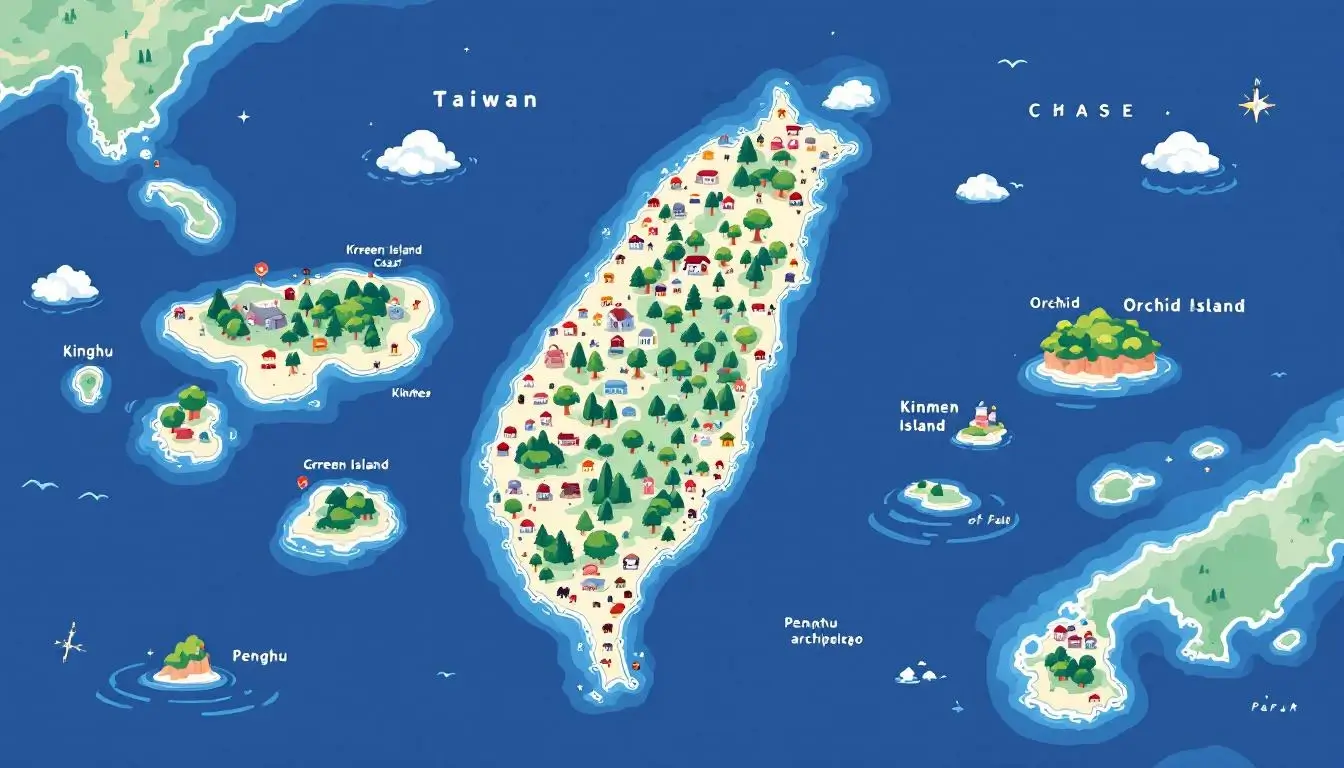
When people look for Taiwan on a country world map, they usually focus on the main island. But Taiwan actually governs a constellation of smaller islands and archipelagos that most maps either minimize or omit entirely. These outlying territories tell a story about sovereignty, strategy, and survival that the main island alone can’t convey.
The Penghu Archipelago (Pescadores)
Located in the Taiwan Strait between Taiwan and mainland China, Penghu consists of 90 islands and islets spanning 128 square kilometers. With its white-sand beaches, basalt formations, and the spectacular Penghu Fireworks Festival, this archipelago is Taiwan’s summer paradise. Penghu has been inhabited for over 5,000 years and served as a strategic naval waypoint for centuries. Most world maps show Penghu as a tiny dot — if they show it at all — but it’s home to over 100,000 people and functions as its own county.
Kinmen (Quemoy) and Matsu
These islands sit just kilometers off the coast of mainland China — Kinmen is only 2 kilometers from Xiamen. They were the site of intense military bombardment during the 1950s Taiwan Strait Crises and remained heavily fortified throughout the Cold War. Today, Kinmen is famous for its kaoliang sorghum liquor, its traditional Minnan architecture, and its surreal juxtaposition — you can literally see the skyscrapers of Xiamen from the beach. Their geographic position makes them uniquely contested on world maps, as they are governed by Taiwan but sit within what most maps show as Chinese territorial waters.
Green Island and Orchid Island
Off Taiwan’s southeast coast, Green Island (Ludao) is famous for its saltwater hot springs — one of only three in the world. Orchid Island (Lanyu) is home to the Tao indigenous people and their distinctive flying fish culture, traditional underground houses, and hand-carved canoes. These islands appear on detailed regional maps but are typically invisible on world maps.
Speaking of Taiwan’s rich indigenous heritage, our guide to Taiwan’s 16 indigenous peoples explores the cultures that have called this island home for 6,000 years.
Pratas and Taiping Islands
Taiwan also administers Pratas Island (Dongsha) in the South China Sea and Taiping Island (Itu Aba) in the Spratly archipelago. These remote outposts give Taiwan territorial claims in the contested South China Sea — yet another reason why cartographers struggle with how to represent Taiwanese sovereignty on world maps.
If the geography of Taiwan has you dreaming of exploring the island yourself, you might want to wear your love for it on your sleeve — literally. Our Taiwan Illustrated Map Design Sweatshirt features a beautifully illustrated map of the island with all its iconic cultural landmarks, perfect for any Taiwan geography enthusiast.
How to Read Taiwan on Different Types of World Maps
Not all maps are created equal, and understanding the different types helps you interpret what you’re seeing when Taiwan appears (or doesn’t appear) on a country world map.
Political Maps
Political maps show country borders and sovereignty. This is where Taiwan’s representation varies most wildly. Some political maps show Taiwan in its own distinct color with Taipei marked as a capital — treating it functionally as a country. Others shade it the same color as the PRC. A telling detail: many political maps use a dashed or dotted line for the Taiwan Strait border rather than a solid line, signaling disputed or ambiguous status without making an explicit political statement.
Physical and Topographic Maps
Physical maps focus on terrain and natural features, largely avoiding political controversy. On these maps, Taiwan always appears clearly as a distinct landmass with its own mountain ranges, rivers, and coastal features. The geological reality is undeniable — Taiwan is physically separated from mainland China by an ocean strait averaging 180 kilometers wide and up to 70 meters deep. Even during the last Ice Age, when sea levels dropped dramatically, the Taiwan Strait remained a significant water barrier.
Economic and Thematic Maps
Thematic maps showing economics, demographics, or other data often treat Taiwan separately by necessity. Taiwan has its own GDP rankings (it’s the world’s 21st-largest economy), its own population statistics, its own currency exchange rates, and its own trade agreements. The CIA World Factbook, international economic databases like the World Bank, and travel advisory systems all maintain separate entries for Taiwan — regardless of official diplomatic positions. When you see a map of global semiconductor manufacturing, Taiwan dominates with TSMC producing over 90% of the world’s most advanced chips — that data point is impossible to fold into China’s statistics without creating a wildly misleading picture.
Digital Maps and Geopolitical Censorship
Digital mapping platforms face unique pressure because they serve global audiences simultaneously. Apple Maps, Google Maps, and Bing Maps all display different versions of Taiwan depending on your geographic location and language settings. This practice — known as “geocensorship” — means there is literally no single “correct” digital map of Taiwan. What you see depends on where you are.
For the most practical map a Taiwan traveler needs, our Taipei map guide with every district and MRT line has you covered.
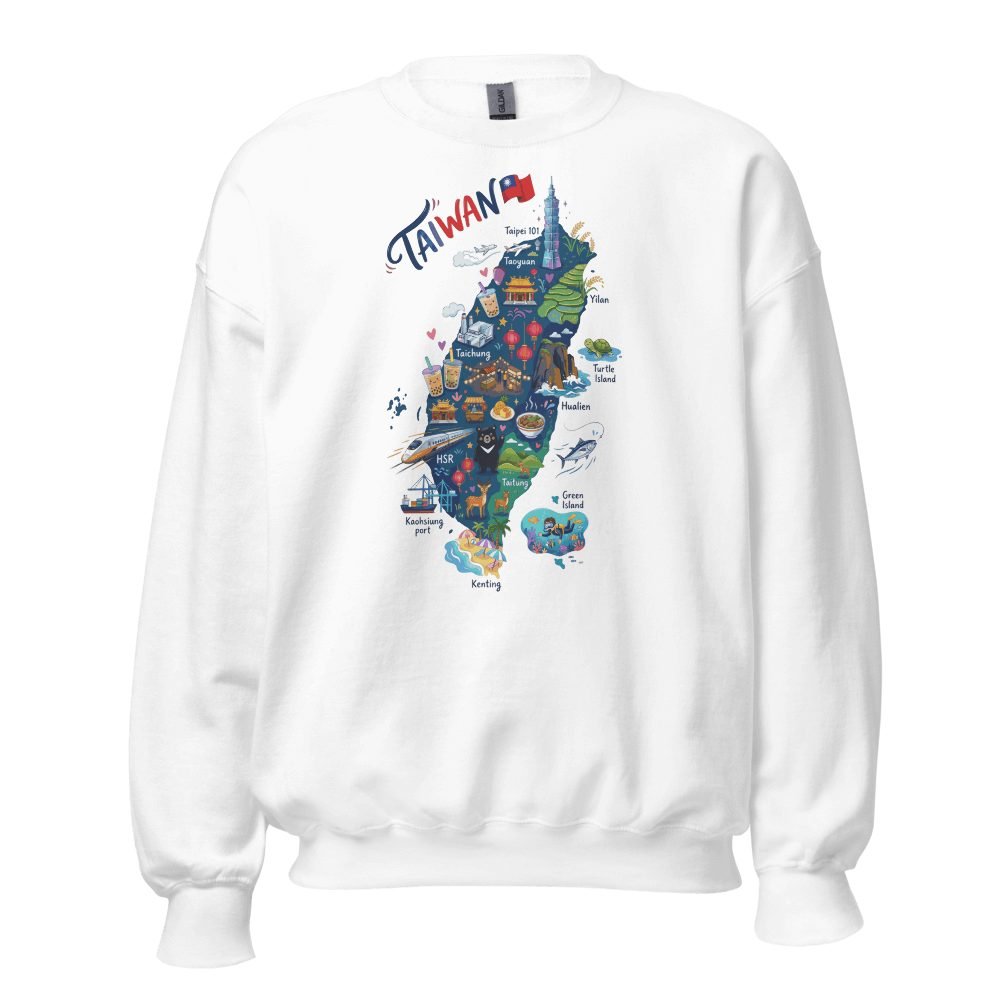
Wear Taiwan on the Map
Our Taiwan Illustrated Map sweatshirt features a stunning hand-drawn map of the island packed with cultural icons — from night markets to temples to mountain peaks. Perfect for Taiwan lovers who want to keep the island close.
Taiwan Country World Map: Frequently Asked Questions

Is Taiwan a country?
Taiwan functions as an independent country in every practical sense — it has its own government, military, currency (New Taiwan Dollar), passport, constitution, and democratically elected president. However, it is not a member of the United Nations and is formally recognized by only 12 nations as of 2026. The vast majority of countries maintain unofficial relations through trade offices and cultural institutes. Whether you call Taiwan a “country,” “state,” “territory,” or “entity” often reveals more about the speaker’s political perspective than about Taiwan’s actual conditions.
Why isn’t Taiwan on some world maps?
The PRC exerts significant diplomatic and economic pressure on map publishers, international organizations, and governments to depict Taiwan as a Chinese province. Airlines, hotels, and tech companies have all faced backlash for listing Taiwan separately. However, many reputable atlases and map publishers continue to represent Taiwan as a distinct entity, and the trend in recent years has been toward greater acknowledgment of Taiwan’s separate status — particularly as global awareness of Taiwan’s semiconductor dominance and democratic achievements has grown.
What is Taiwan’s official name?
Taiwan’s official name is the Republic of China (ROC), established in 1912 on the Chinese mainland and relocated to Taiwan in 1949. This creates confusion because the People’s Republic of China (PRC, established 1949) uses a similar name. In international contexts, Taiwan is often referred to as “Chinese Taipei” (Olympics, WHO) or simply “Taiwan” in everyday usage.
How big is Taiwan compared to other countries?
Taiwan’s 36,193 km² makes it similar in size to the Netherlands (41,543 km²), Switzerland (41,285 km²), or Belgium (30,689 km²). For American readers, it’s roughly the size of Maryland and Delaware combined. Despite its small area, Taiwan ranks as the world’s 21st-largest economy by GDP and is the most critical node in the global semiconductor supply chain.
What countries are closest to Taiwan?
China is closest at 130 km across the Taiwan Strait at the narrowest point (Kinmen Island is just 2 km from China’s coast). Japan’s Yonaguni Island is 108 km from Taiwan’s northeast coast. The Philippines’ northernmost Batanes Islands are approximately 190 km south of Taiwan.
Can you visit Taiwan with a regular passport?
Yes — Taiwan offers visa-free entry to citizens of over 65 countries (including the US, UK, Canada, Australia, and most EU nations) for stays of 90 days. This open travel policy functions identically to any sovereign nation’s immigration system. For full details, check out our Taiwan visa requirements guide.
Why Taiwan’s Place on the World Map Matters

Maps are never just geography — they’re statements about power, recognition, and identity. The way Taiwan appears on a country world map reflects one of the 21st century’s most important geopolitical questions: can a place be functionally independent in every measurable way while remaining officially unrecognized by most of the world’s governments?
For the 23.5 million people who live in Taiwan, the answer they experience daily is clear. They vote in free elections, carry Taiwanese passports, pay taxes to the ROC government, and live under Taiwanese law. Whether a map publisher in London or a tech company in California chooses to shade their island the same color as mainland China doesn’t change the reality on the ground — but it does shape how the world perceives them.
What makes Taiwan’s map story ultimately hopeful is how the island has thrived regardless of its cartographic ambiguity. Taiwan has built the world’s most advanced semiconductor industry, developed one of Asia’s most vibrant democracies, and created a cultural identity that blends indigenous heritage, Chinese traditions, Japanese influence, and modern innovation into something entirely its own.
The island punches impossibly above its weight in nearly every global index — from healthcare and education to press freedom and quality of life. It has given the world bubble tea, TSMC, the best street food scene on Earth, and a model for how to build a thriving democracy from authoritarian roots.
The next time you look at a world map and spot that sweet-potato-shaped island off the coast of East Asia, you’ll know there’s a lot more to the story than the colors and borders suggest. Taiwan might be small on the map, but its outsized influence on technology, cuisine, culture, and geopolitics makes it one of the most important places in the modern world — however your particular map chooses to label it.

Grab a Free Taiwan Sticker!
Drop your email and we’ll send you a limited-edition Taiwan sticker — plus insider access to new merch drops and island vibes.
No spam. Unsubscribe anytime.